Minnesota Department of Transportation

511 Travel Info

Hwy 55/Hiawatha Avenue and Lake Street

Minneapolis

This webpage is not updated over the weekend/overnight. For up-to-date information on traffic impacts, visit 511mn.org.

Traffic impacts

Hiawatha Avenue and Lake Street between 21st Avenue South and Minnehaha Avenue in Minneapolis project location map

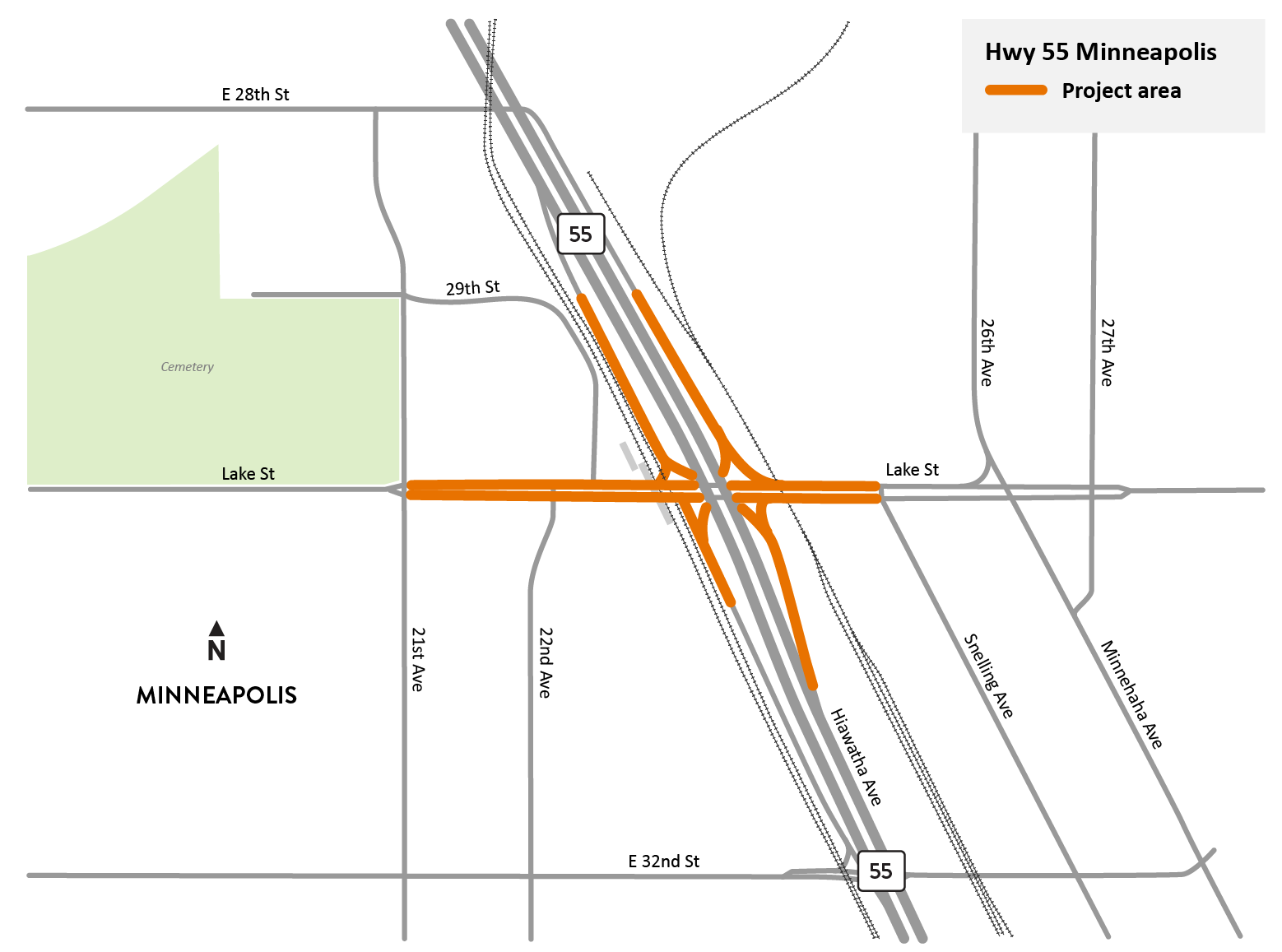
Hiawatha Ave. and Lake St. in Minneapolis project location map.

View full-size map

All traffic impacts are tentative and weather dependent. Businesses and transit services will be accessible during construction.

Current

Lane closures

Wed, April 17 through October
  • E. Lake St. is reduced to one lane in both directions between 21st Ave. S. and Snelling Ave.

Ramp closures

Wed, April 17 through October

Upcoming

Information about upcoming traffic impacts will be posted as details become available.

About this project

We will reconstruct the intersection of Hwy 55/Hiawatha Ave. and Lake St. in Minneapolis into a more pedestrian and bike friendly layout with accessible sidewalks, ramps, and curbs. When work is finished, the new intersection will be safer and easier for pedestrians and bikers to navigate and use.

Summary of work

  • Reconstruct the Hiawatha Ave. and Lake St. intersection
  • Add new signal systems at Snelling Ave./Lake St. and 22nd Ave./Lake St. intersections
  • Improve accessibility for pedestrians, bikers, and transit riders
  • Reconstruct ramps to/from Hiawatha Ave. and Lake St.