Project complete
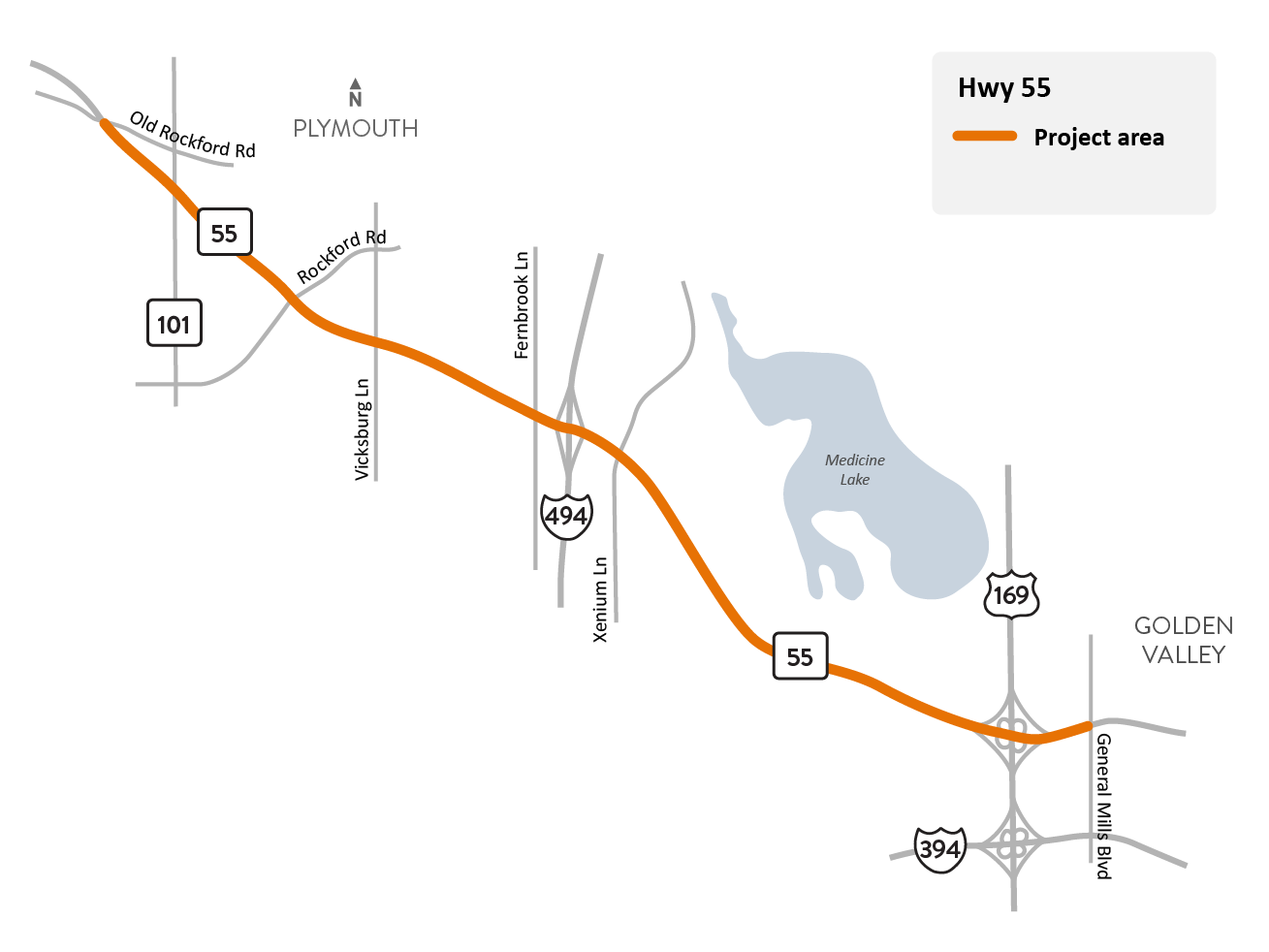
Hwy 55 Plymouth to Golden Valley project location map.
About this project
We resurfaced Hwy 55 between Old Rockford Rd. in Plymouth and General Mills Blvd. in Golden Valley. The project included paving, access modifications, stormwater system improvements, shared use trail updates, and a signal replacement. These improvements will benefit all road users by providing a smoother road surface, enhanced safety and reduced congestion, new trail connections, and the implementation of trail infrastructure that meets ADA (Americans with Disabilities Act) standards.
As part of this project, MnDOT did not resurface the section of Hwy 55 between West Medicine Lake Dr. and Revere Ln. North to allow for the City of Plymouth’s Station 73 TRIP project, which began construction in June 2025. The project includes upgrades to roads, trails, and transit facilities.
Summary of work
- Resurfaced Hwy 55 to provide a smoother road surface and extend the pavement life cycle
- Access closures and modifications like eliminating free right turns and implementing J-turns to improve safety
- Replaced signal at Vicksburg Ln. with a mast arm to eliminate signals located in the median
- Storm sewer improvements to improve drainage and eliminate flooding
- Updated trail infrastructure, including reconstructed sidewalks, new curb ramps, and improved crosswalks that meet ADA standards to improve accessibility for all users
- New pedestrian and bicycle connections to address trail gaps and improve connectivity throughout the project area. These included new shared use trail connections:
- between Northwest Blvd. and Fernbrook Ln.
- between Evergreen Ln. and Medicine Lake Dr.
- Several smaller connections to the existing trail network
- Installed new roadway lighting at several intersections